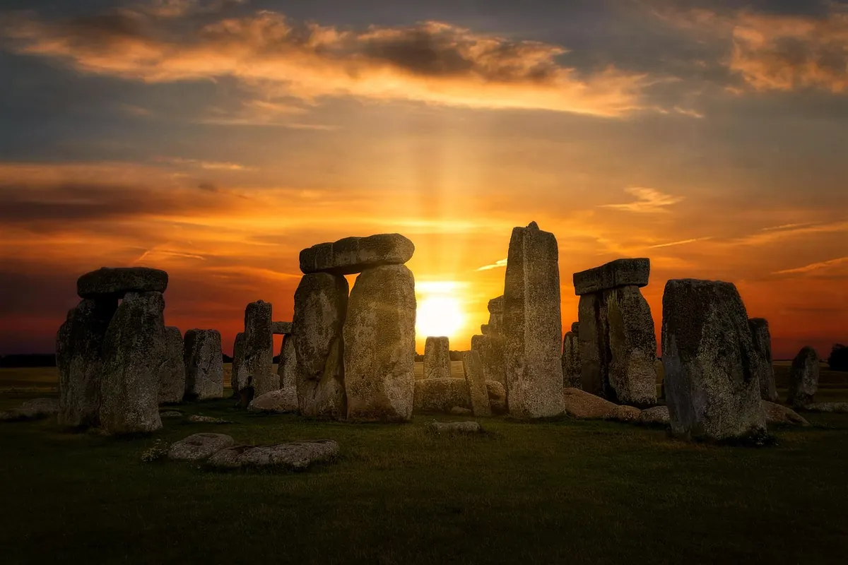
Castlerigg doesn't announce itself. You leave the A66 at a small signposted car park, walk twenty paces up a grassy bank, and there it is: a ring of grey stones on a green plateau, with Skiddaw and Blencathra standing behind it like furniture. No visitor centre, no turnstile, no ticket booth. Just the stones, the sheep and the weather. It's often described as one of the earliest stone circles in Britain, and it is almost certainly the best sited.
What Castlerigg Is — and What It Isn't
The circle sits on a low ridge just over 200 metres above sea level, about a mile and a half east of Keswick. It's generally dated to around 3000 BC, which puts it among the earliest circles in the country and comfortably before Stonehenge's great sarsen ring. Dating prehistoric monuments is an imprecise business, so treat any very confident date with caution.
What it isn't is a castle. The name is Old Norse in shape — a rigg is a ridge — and the Norse settlers who coined it arrived millennia after the stones went up. Nor is it a site you pay for: Castlerigg is in the care of English Heritage, free to enter, and open during daylight hours.
The Stones Themselves
Around 38 stones survive, set in a slightly flattened ring roughly 30 metres across. They're local — volcanic rock from the Borrowdale Volcanic Group, which forms most of the high ground around Keswick — and they vary hugely in size. Most stand between waist and shoulder height, with the tallest reaching about two and a half metres. Some lean. A few have fallen. The spacing is irregular enough that you can see the ring was never a tidy circle.
The feature that sets Castlerigg apart is the inner setting: on the eastern side, about ten stones form a rough rectangle, often called the sanctuary. It's an unusual arrangement in British circles and nobody is certain what it was for. Excavations have yielded little — some charcoal, a scatter of flints — which is precisely why the monument's purpose remains open. Some visitors read the gaps and the flat western side as deliberate solar or lunar alignments; others are sceptical. Either way, the setting makes the argument for you. The panorama takes in Skiddaw, Blencathra, the Helvellyn range and the fells around Borrowdale, and it is hard to believe the view was accidental.
Getting There
The circle sits just off the A66, east of Keswick. Several approaches work:
- On foot from Keswick. The best option, taking 35–45 minutes. Head out on Penrith Road and pick up the footpath signed for Castlerigg, which crosses fields and reaches the circle from the west. Don't walk along the A66 — it's a fast, unlit trunk road.
- By car. A small free car park sits off the A66, signed for the stone circle. It holds only a couple of dozen cars and fills early on sunny weekends.
- By bus. Services run along the A66 corridor through Keswick. Timetables change often, so check current times before setting out.
- By bike. Use the lanes from Keswick rather than the trunk road.
Whichever way you come, the last stretch is a short walk over grass, and the gate is easy to miss after dark.
When to Go
Early morning is the best of it. Between about 6am and 8am in summer you'll often have the ring to yourself, and the low light picks out every crack and lichen patch on the stones. Late evening runs it close, particularly in winter, when the sun drops behind the north-western fells and the plateau turns orange.
Times to avoid if quiet is what you're after: midday in July and August, bank holiday weekends, and the solstices and equinoxes, when the site draws a crowd for sunrise. Those gatherings are good-natured and enjoyable in their own way, but they aren't a solitary experience. The weather matters too — Castlerigg is exposed, and a clear morning can turn wet within the hour.
Nearby Prehistoric Sites Worth the Detour
Castlerigg is the most famous monument in the area, but it isn't the only one.
- Long Meg and Her Daughters, near Little Salkeld. One of the largest stone circles in England, with the tall outlier Long Meg carrying cup-and-ring carvings.
- Mayburgh Henge and King Arthur's Round Table, near Penrith. A massive banked henge close to the M6, and one of the most impressive prehistoric earthworks in the north.
- The Shap stones. A scattered complex of circles and an avenue south of Penrith, with the enormous Thunder Stone nearby.
- Great Langdale. The fells above the valley were a Neolithic axe factory, and polished axes from here travelled across Britain. The climb to the working sites is steep, but the sense of industry is real.
- Swinside, near Broughton-in-Furness. A near-complete circle in a quiet valley. It stands on private land and access depends on the landowner's goodwill, so park considerately and take nothing away.
Closer to hand, Keswick Museum holds local archaeological material and makes a sensible wet-weather follow-up.
Practical Tips Before You Go
Castlerigg is a scheduled ancient monument and part of a working farm. A few things make the visit better for everyone:
- Wear boots or sturdy shoes. The field is uneven and muddy for much of the year.
- Take a waterproof. There is no shelter of any kind.
- Expect no facilities — no toilets, no café, no bins. Carry your litter out.
- Keep dogs on a lead if sheep are grazing, and close gates behind you.
- Don't climb on the stones, light fires, or use a metal detector. Digging and detecting on a scheduled monument are offences.
- Treat it as a place of quiet. For plenty of visitors it isn't just a photo stop.
Aim to give it an hour: half sitting still, half walking the ring. Bring a wide lens if you're photographing, and be ready to step aside for others doing the same. Then walk back down into Keswick, where the cafés and slate roofs will feel like a different century — which, set beside the stones, they very much are.
Photo: 14062968 / Pixabay